Engage V1.1
This update introduces new tools, improvements and fixes to make it even easier to plan, map and manage your campaigns.
What’s new
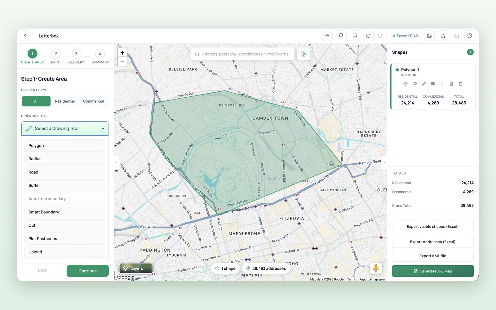
Redesigned Interface
Engage’s user interface has been redesigned to provide a smoother, clearer and more intuitive mapping process from start to finish.
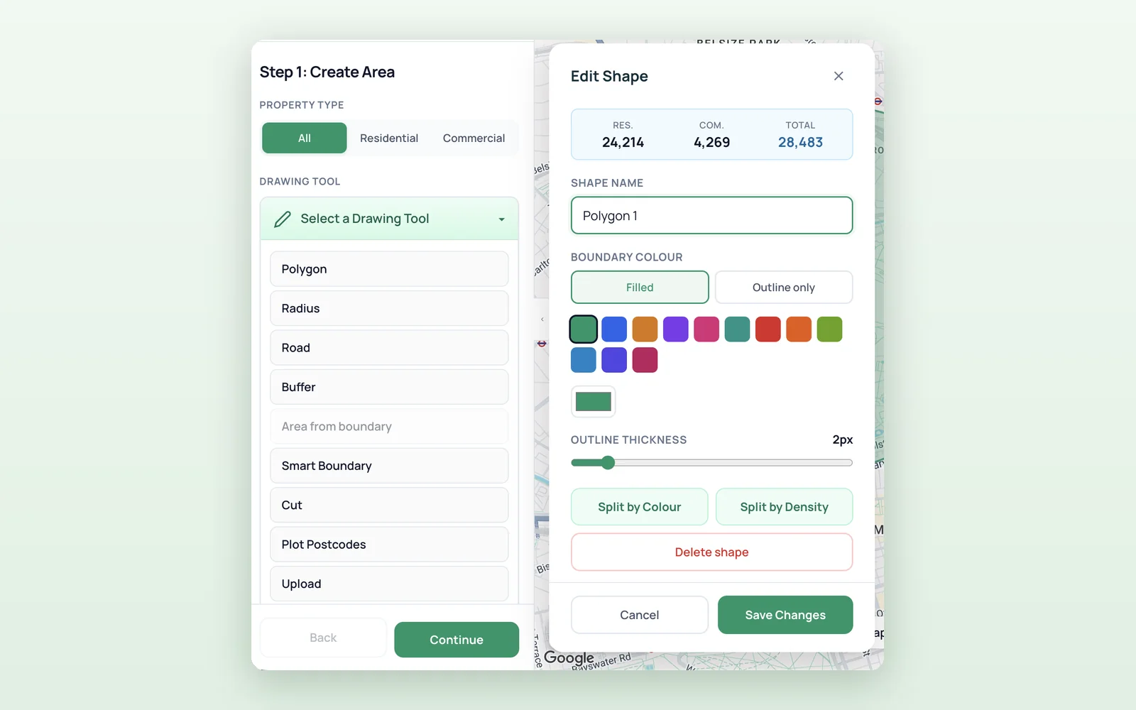
Edit Shape
Customise each shape by choosing a filled boundary or an outline-only style. You can also adjust the outline thickness to make important areas stand out.
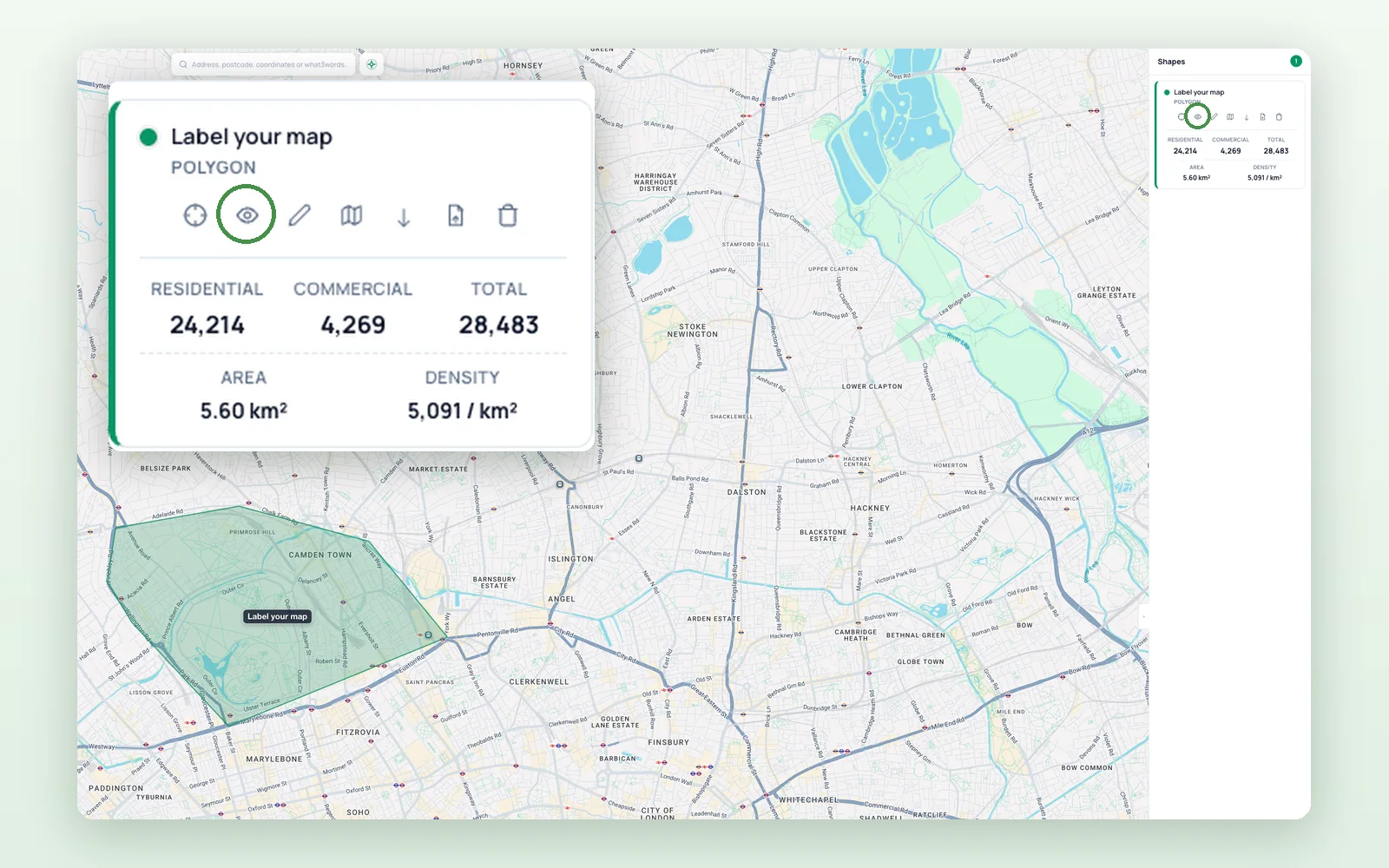
Hide Shapes
Temporarily hide individual shapes from the map using the eye icon, without deleting them. This makes it easier to focus on specific areas when working with multiple shapes.
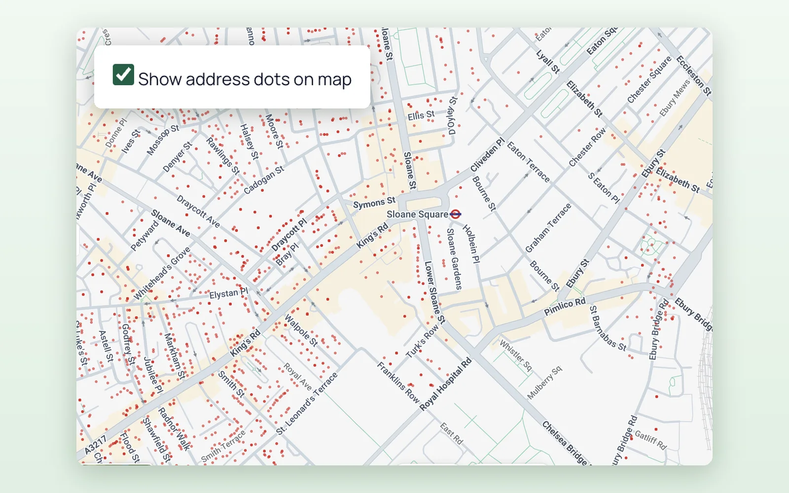
Address Dots
Display individual address points directly on the map. This makes it easier to understand exactly where residential and commercial addresses are located.
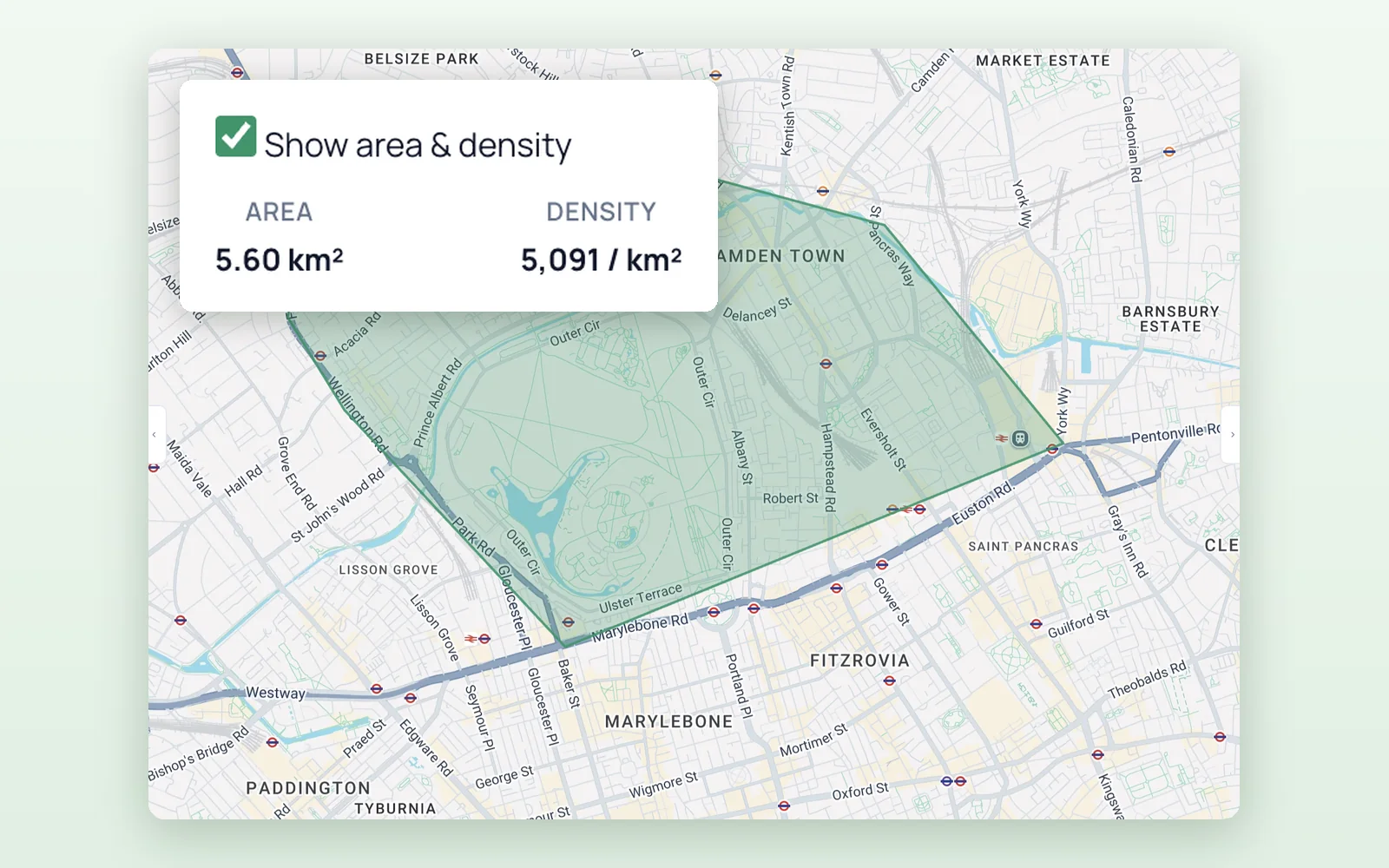
Area and Density
View the total area of a shape and its address density per square kilometre. These figures help you compare coverage areas and understand how concentrated the addresses are.
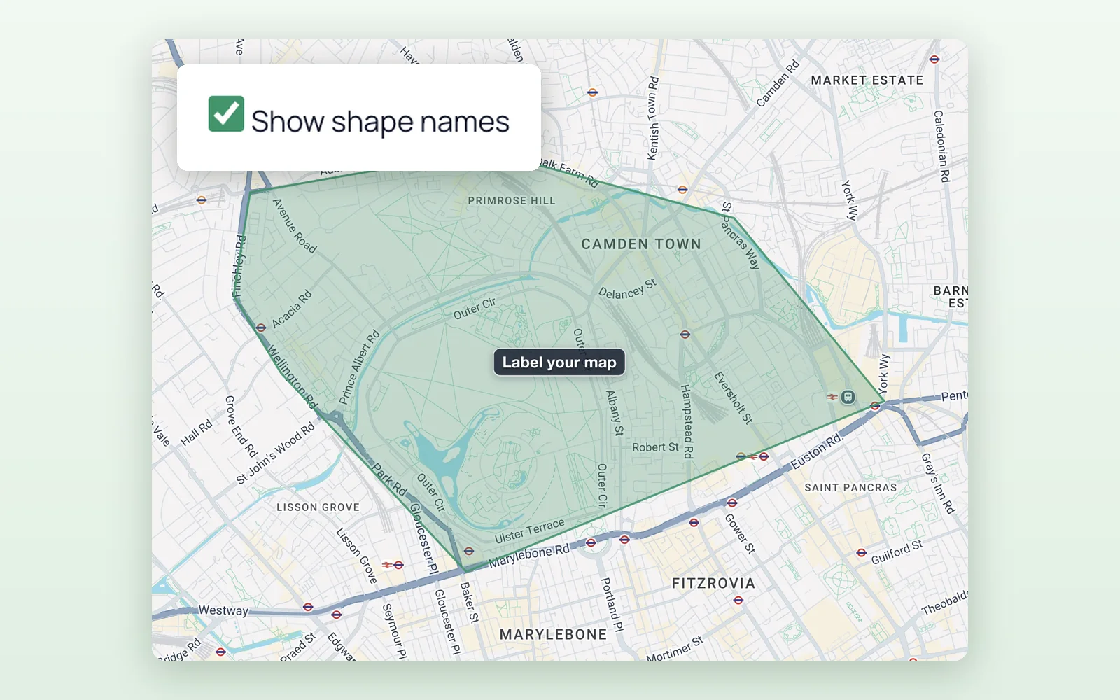
Shape Names
Add names to shapes so areas can be clearly identified on the map. These labels also make shared and exported maps easier to understand.
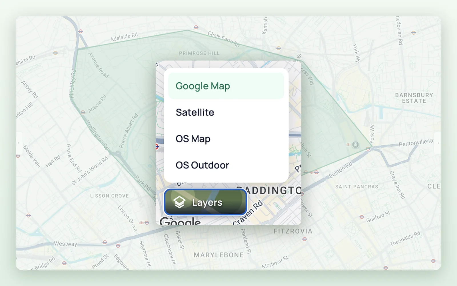
Map Layers
You can now use the Ordnance Survey map layer alongside the existing satellite and standard map views. Switch between layers to get the most useful geographic context for your mapping task.